
What Is Lidar Technology?
Lidar technology is the use of light to measure distance. LIDAR stands for Light Detection and Ranging, which is an acronym for “light detection and ranging.” LIDAR is also known as a laser scanner or an airborne laser scanner.
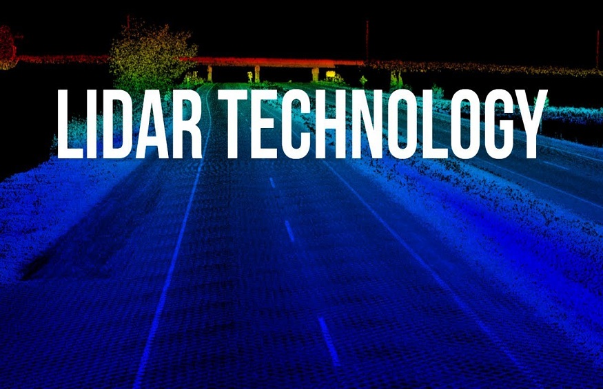
Lidar technology can map objects in 3D space using a laser that bounces off the measured object. The laser emits light pulses from a telescope in the lidar unit, which receivers receive on either side of the instrument. This allows the instrument to project a real-time 3D image of the scanned object onto a screen.
The purpose of lidar technology is to create high-resolution maps of large areas at a low cost. It’s useful for mapping large areas quickly and accurately, but it’s not accurate enough to be used on smaller surfaces like roads or buildings.
How Does Lidar Technology Work?
The principle behind lidar is that pulsed laser light is bounced off an object, returning a pulse of light to the sensor. The sensor then measures how long it takes for this returning signal to reach the sensor, indicating the distance between itself and the object. This method produces very accurate results because it doesn’t depend on any other factors, such as GPS or radar, both of which have limitations in terms of accuracy and reliability.
What are the Benefits of Lidar Technology?
Accuracy
Lidar technology is accurate because the sensor’s laser beam is reflected back to the sensor. The time it takes for the laser beam to return depends on the distance between them. Lidar technology has an accuracy of about 1-5cm, which means that if you are standing 5 meters away from your car, you will be able to measure its height and distance in centimeters as well.
Wide Angle Coverage
Lidar sensors can capture a wide angle of view with their beams, which allows them to detect objects more accurately than other technologies like radar, which only captures a small angle of view. In addition, lidar sensors can also detect objects in free space. This feature makes it easier for the driver to see obstacles on their path while driving at night or while driving through dense forests or jungles where there may be no road signs or trees near them.
Improved safety
Lidar technology also has the potential to improve safety on the road. Police departments worldwide are already using it to help them track criminals more easily and quickly. This would be especially useful in areas with many pedestrians or cyclists on the road at any given time. If a car is involved in an accident with one of these people, lidar technology could potentially help identify where exactly it happened and how fast it occurred so that people could be properly informed about what happened.
Short-range and long-range detection
Lidar technology can detect objects within short or long distances, depending on how far away they are from the sensor itself. The distance at which an object can be detected by lidar depends on its size, mass, and reflectivity, all factors that can be measured by lidar sensors and used to create a 3D model of your surroundings.
Wide range of applications
Lidar is being used in many fields where traditional human-based sensors cannot reach because they require too much space: agriculture, construction, and mining come to mind immediately here. The fact that lidar systems detect objects at long distances makes them ideal for these types of applications where it’s important to find out what’s going on at a distance.
Produce high-resolution images
Aeries II sensor can provide more detailed data than radar because it can produce high-resolution images up to about 20cm per pixel (4 inches). This allows for very precise 3D mapping and should make lidar an important tool for surveying large areas such as construction sites or property boundaries.
Lidar can also be used to create virtual models of objects or spaces that are not physically observable, including buildings and natural environments. This is useful for planning purposes or design purposes where it would be difficult or expensive to build models based on physical measurements such as photographs or drawings.
Minimum human dependence
Lidar is a very accurate and efficient technology that can be used without human intervention. It can measure precise 3D objects without any interference or human interference. Lidar technology, also known as Laser Radar, uses laser light instead of radio waves or microwaves. This helps in measuring objects with high accuracy and precision.
Robust platform
Lidar uses laser light as its energy source, emitting it in all directions so that it can capture the 360 degrees around it. This helps get an accurate measurement of the area under observation by using many lasers at once, which helps get an extremely accurate measurement of the area under observation.
Fast data acquisition
Lidar technology quickly transfers data about objects in front of the sensor – typically tens of thousands of times faster than other sensors such as cameras or radar. This makes it possible for lidar devices to collect high-quality data from small objects in short time frames, which would otherwise be impossible with conventional sensors such as cameras or radar.
Faster positioning
Lidar systems can provide more accurate position information than conventional sensors such as GPS satellites, which are limited by signal delay time and the number of satellites that can be seen at any given time (urban areas tend to have fewer visible satellites). This means lidar systems have higher accuracy than GPS systems at all times, even in urban areas where GPS signals may become less accurate due to obstruction by tall buildings.
GCP independence
Lidar is a technology that can be used in combination with other geospatial technologies to help make accurate and fast decisions. It is independent of conventional satellite-based information, thus eliminating the need for a ground control point (GCP). Lidar also provides better detail about terrain than traditional satellite imagery because it can penetrate clouds and haze, revealing objects that are otherwise invisible to satellites. This allows companies to create maps with more accurate data and information about their assets and operating areas.
Key Take a way
Lidar (Laser radar) is a remote sensing technology that uses light pulses from a laser to determine the distance to an object. Lidar systems use multiple lasers to measure the distance between the lidar and its target in three dimensions. Scientists and engineers then use the lidar to map the world’s terrain, natural resources, and environment.
Lidar has been around for decades but has only recently become affordable enough for non-military applications. This technology is used extensively in mapping applications such as Google Maps, Apple Maps, and Bing Maps. In addition to mapping, lidar can also be used in other areas, such as surveying land development projects, aerial photography, and inspection of roadways.